UN
1 Yantlet Drive
£ 350,000
Description
We don't have a Description for this property.
- Bedrooms
- 2
- Bathrooms
- 0
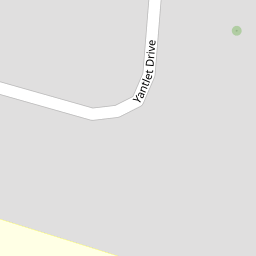


Leaflet © OpenStreetMap contributors
The heatmap indicates the level of crime in the area. The color of the heatmap indicates the crime severity and recency.
Metrics Year-on-Year
- Average area value
- 319,841.00 £Decreased by 3.86 %
- Average area rental value
- 1,549.00 £/moIncreased by 11.92 %
- Est rental Yield
- 5.81 %Increased by 16.43 %
- Crime Rate
- 4.00 %Unchanged by 0.00 %
from 332,678.00 £
from 1,384.00 £/mo
from 4.99 %
from 4.00 %
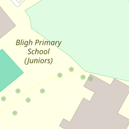
Nearby Schools
| Name | Type | Ofsted | Distance |
|---|---|---|---|
| Ebbsfleet Green Primary School | Free Schools | 0.23 KM | |
| Bligh Primary School (Infants) | Academy Converter | 0.23 KM | |
| Bligh Primary School (Juniors) | Academy Converter | 0.23 KM | |
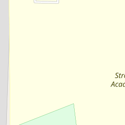
| Strood Academy | Academy Sponsor Led | Good | 0.23 KM |
| Bligh Children'S Centre | Children's Centre | 0.32 KM |
Images
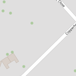
Nearby Streets
| Name | Average Price | Average Sqft | Distance |
|---|---|---|---|
| Wakefield Close | £ 240,000 | 0 | 0.00 KM |
| Lincoln Close | £ 270,000 | 0 | 0.00 KM |
| A2 | £ 375,000 | 0 | 0.00 KM |
| Crispin Road | £ 0 | 0 | 0.00 KM |
| Russet Close | £ 0 | 0 | 0.00 KM |
Nearby Transport
| Name | NLC | TLC | Distance |
|---|---|---|---|
| Cuxton | 5201 | CUX | 2.52 KM |
| Higham | 5202 | HGM | 3.36 KM |
| Strood (Kent) | 5191 | SOO | 4.03 KM |
| Rochester | 5203 | RTR | 5.29 KM |
| Halling | 5173 | HAI | 5.32 KM |
Nearby Listings
| Address | Price | Type | Score | Distance |
|---|---|---|---|---|
| Copperhouse Road, Strood, Rochester | £ 375,000 | BUY | 6 / 10 | 0.18 KM |
| Millfordhope Road, Strood, Rochester, Kent | £ 500,000 | BUY | 7 / 10 | 0.26 KM |
| Parkfields, Strood, Kent, ME2 | £ 550,000 | BUY | 7 / 10 | 0.32 KM |
| Carnation Road, Rochester, Kent, ME2 | £ 375,000 | BUY | 7 / 10 | 0.41 KM |
| Albatross Avenue, Strood, Rochester, Kent. ME2 | £ 325,000 | BUY | 7 / 10 | 0.41 KM |
Nearby Properties
| Address | Price | Distance |
|---|---|---|
| 15 Yantlet Drive | £ 375,000 | 0.00 KM |
| 37 Yantlet Drive | £ 232,000 | 0.00 KM |
| 23 Yantlet Drive | £ 200,000 | 0.00 KM |
| 43 Yantlet Drive | £ 149,995 | 0.00 KM |
| 21 Yantlet Drive | £ 380,000 | 0.00 KM |